USGS Map Project
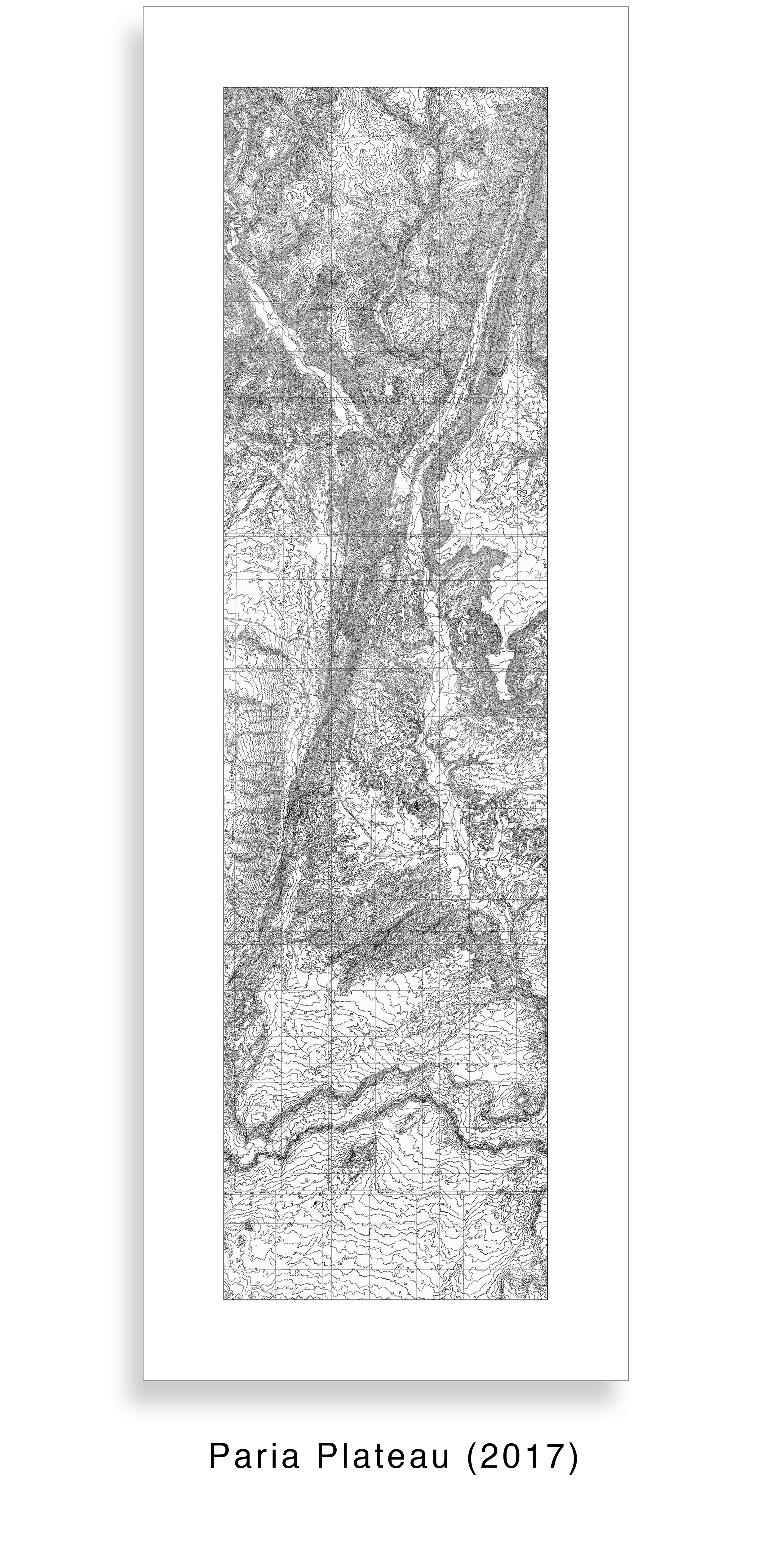
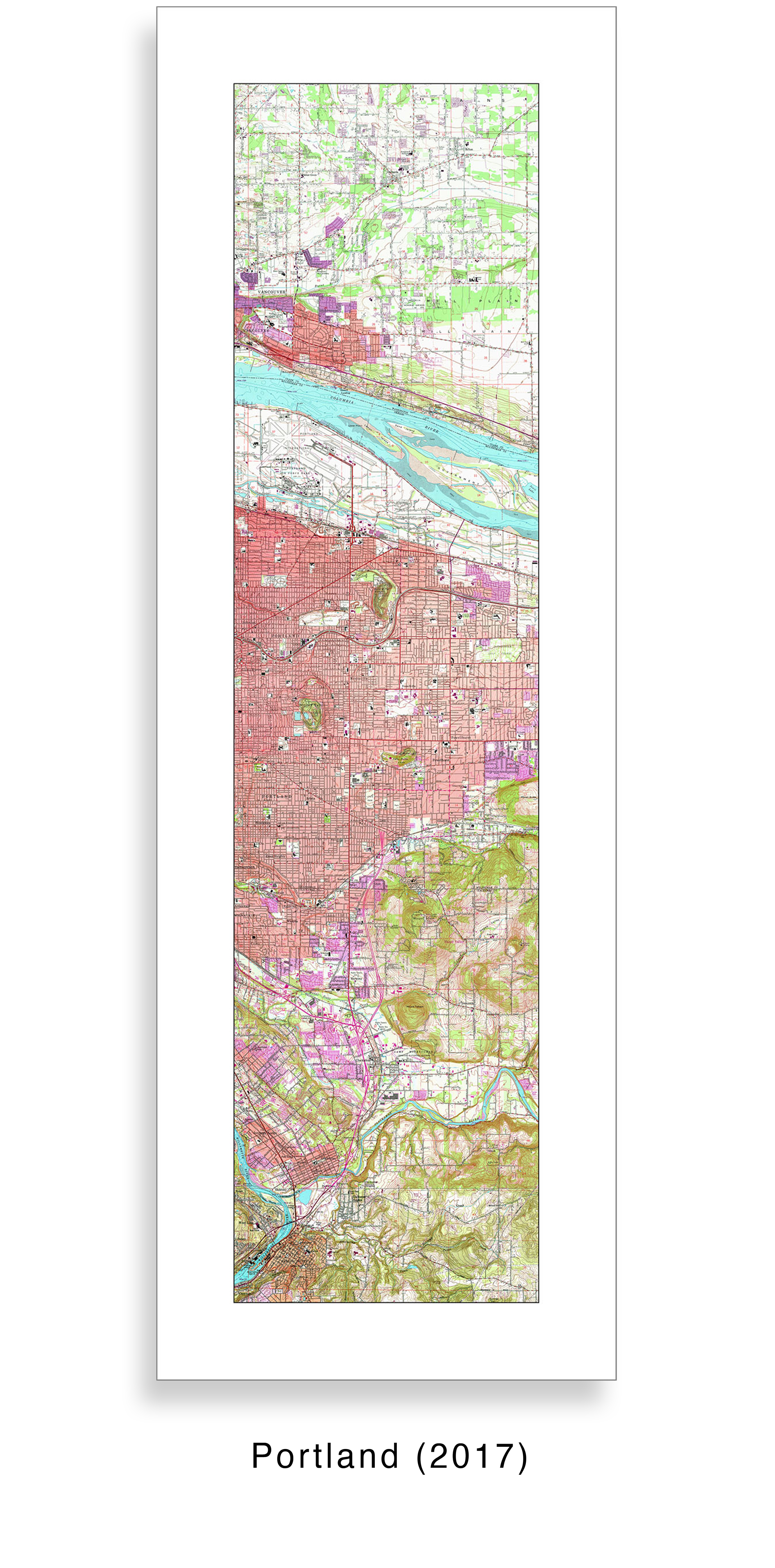
These prints present geological contour maps from the 1950s and 1960s that display topographic data, intricate pen-and-ink drawings, and surreal shapes all at the same time.
Elk Ridge (2017), for instance, shows the topography of canyons and desert mesas formed over millennia. It also displays surreal shapes evoking jungle foliage, human-like arms and fingers, and flames raging out of control. To me, the work is most rewarding when seen in both ways.
I am personally drawn to contour maps because my father drew them for geological surveys of remote areas of Wyoming and Montana in the 1960s. As an artist I learned to admire contour lines because they are unlike anything I might draw or imagine on my own.
Discarding any attempt at realistic representation, these topographic landscapes clearly reflect modern abstract visual sensibilities. Like Rorschach inkblots, they invite viewers to perceive whatever shapes and forms they are inclined to see.


© Tom Crawford